

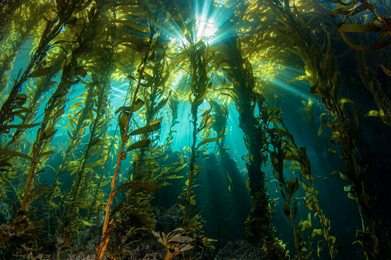
CIMI Kelp - OCC Collaboration
-
The CIMI Kelp Restoration Project has four sites: Toyon Point, Toyon Pinnacle, Fox Nearshore, and Fox Fishbowl.
At all four sites we :
Conduct Kelp Censuses
Monitor Transects: UPC, Swaths, and Quadrats
Film Transects with 360° Video & Video Quadrats (testing)
-
Kelp Census & Transect Maps
-
A census is a complete count or measurement of all individuals or features within a defined area. In a kelp forest census, divers record data on every kelp plant, fish, or invertebrate within the study area boundaries. This method provides the most accurate snapshot of the ecosystem but is often time-consuming and logistically challenging, especially in large or complex habitats. The following items will help prepare you for the kelp census. If the kelp is too thick in some areas we will conduct a Kelp Transect instead which has similar methods.
-
Uniform Point Contact (UPC) sampling is used to estimate the percentage cover of:
Bottom substrate types
Algae
Sessile invertebrates
-
Swath surveys quantify the abundance and average size of common structure-forming algae (excluding M. pyrifera) and mobile invertebrates within a standardized belt transect. This method targets conspicuous species and algae that are not adequately characterized by other methods.
-
Quadrat sampling is used to quantify giant kelp recruitment, juvenile and adult Sargassum horneri, Tegula spp., and fine-scale substrate characteristics relevant to early kelp establishment.
-
-
CIMI uses 360° underwater video to create a permanent visual record of our kelp forest monitoring sites. Divers swim the camera along mapped transects, capturing the kelp, algae, fish, and seafloor along the way. These videos allow us to track how the kelp forest changes over time and give students the opportunity to explore real underwater environments, make observations, and contribute meaningful data to ongoing marine research.
-